vSite is a visual project management tool for the construction, SUE and locate industries that leverages digital twin and augmented reality. Used daily, it revolutionizes how work gets done. Please review the key features of the vSite platform below.
Geospatial hub |
A geospatial hub that brings your project data in one place to show you what you need to build and where. |
||
|---|---|---|---|
Documentation capabilities |
Comprehensive GIS data collection, issue reporting and reality capture/3D scanning capabilities. |
||
Exceptional Accuracy |
vSite AR offers exceptional accuracy with and without external GNSS devices. Positioning accuracy of up to 1 cm with GNSS and sub-10 cm without GNSS. Directional accuracy of up to ±0.1°. | ||
GIS Integration |
Bi-directional integration with Esri ArcGIS, GE SmallWorld and other GIS systems. |
||
BIM Format Support |
Native support of .DWG, .DWF, .IFC, .NWD, .RVT and other BIM formats. |
||
CDE Integrations |
Native integration with Autodesk Construction Cloud (ACC), Bentley ProjectWise/iTwin, Esri ArcGIS and other CDEs. |
||
Multi-Device Support |
vSite can be used with iPhone, Android, Microsoft HoloLens 2, and Magic Leap 2. |
||
No Additional Equipment |
vSite runs with high-accuracy and high-fidelity on consumer devices without additional equipment. |
||
| 3rd-Party API Support |
Bi-directional integration options through native APIs. |
||
Multiple Positioning Methods |
vSite supports multiple positioning methods optimized to address different use cases. |
||
Advanced Collaboration |
Integrated holograms, video, and audio that connect the office with field teams. |
||
Multi-Format Support |
Support of Esri ArcGIS, WMS/WFS, Shapefile, KML, Geo database and other formats. |
||
GNSS Integration |
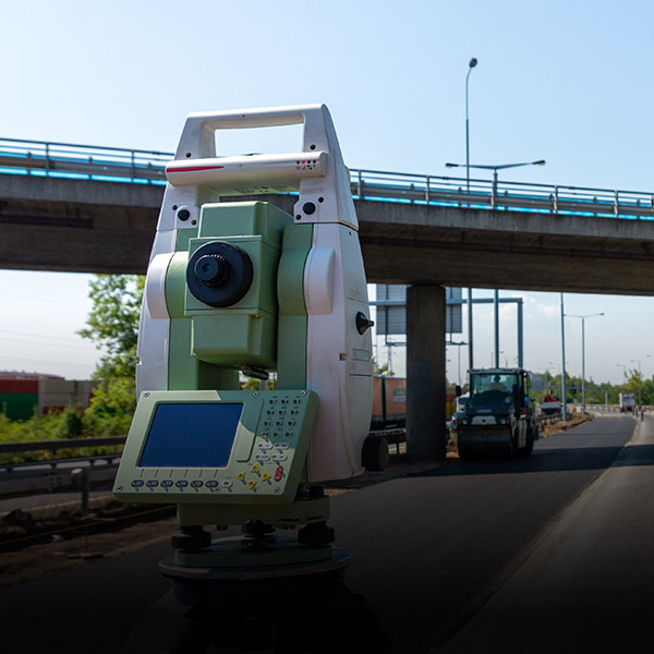
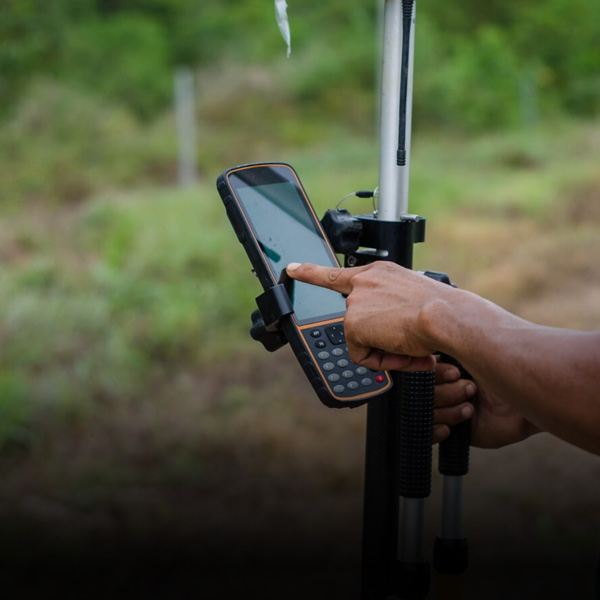
Compatible with high-precision GNSS devices from EOS, Leica, Trimble, SXBlue and others. |
||
Multi-View Support |
First-person on-site experience and birds-eye “zoom out” site overviews. |
||
Stable Visualizations |
3D Augmented Reality overlays stay “world-locked” by remaining in sync with the physical world. |
||
IoT Integration |
Capabilities of displaying real-time IoT and sensory data in Augmented Reality views. |
||
These are some of many vSite features. Contact Sales to learn more.