Subsurface Utilities Projects Made Simple
Reduce risk, lower costs, and eliminate rework with an intuitive tool designed for planning, execution, and accurate as-built documentation.

Reduce risk, lower costs, and eliminate rework with an intuitive tool designed for planning, execution, and accurate as-built documentation.
Our software supports every stage of your project:
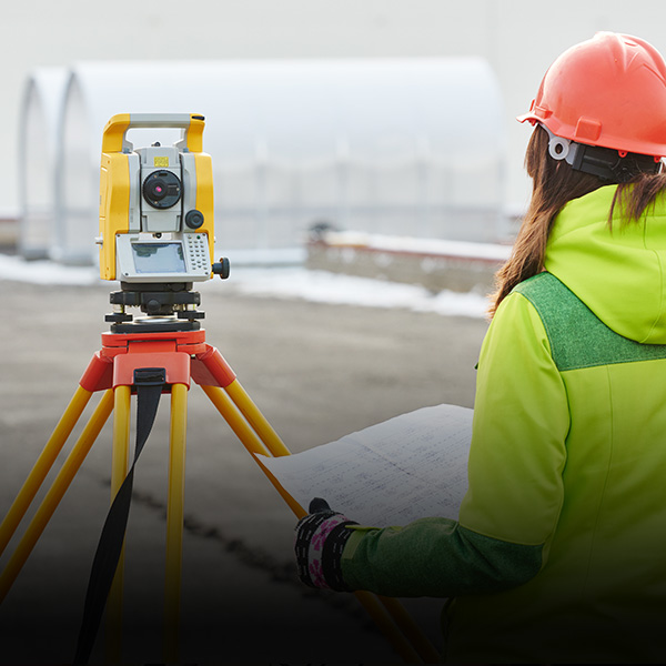
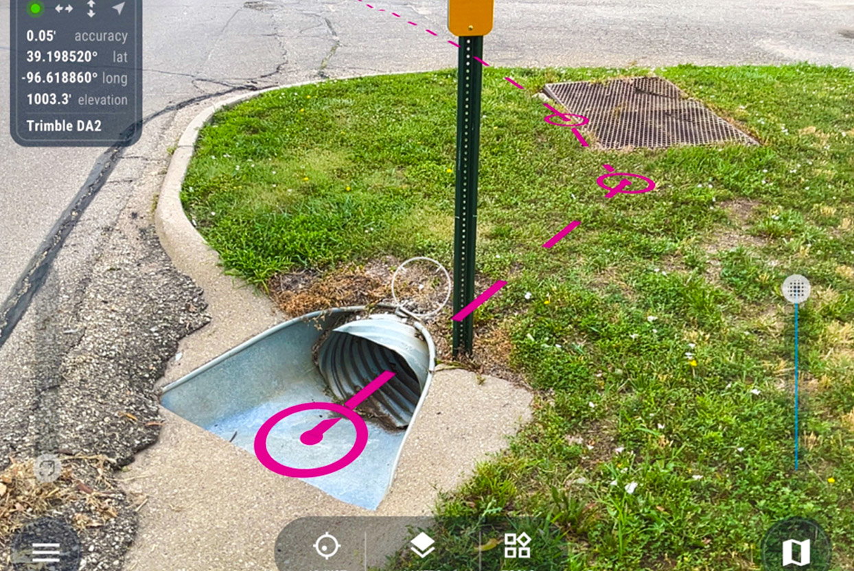
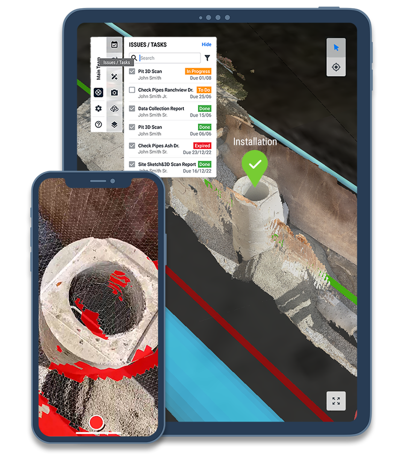
Planning: Speed up workflows with real-time visualization of existing and proposed utilities using digital twin and AR.
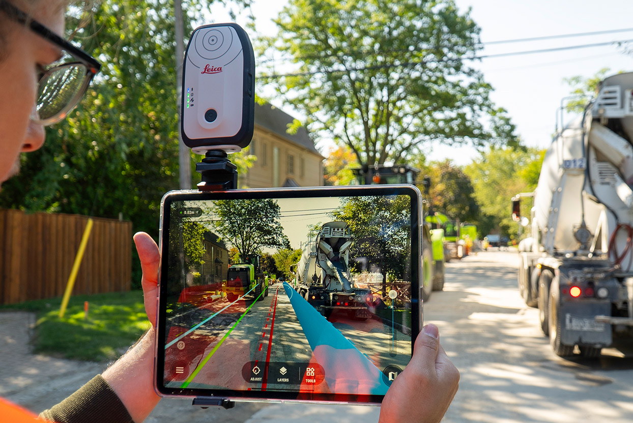
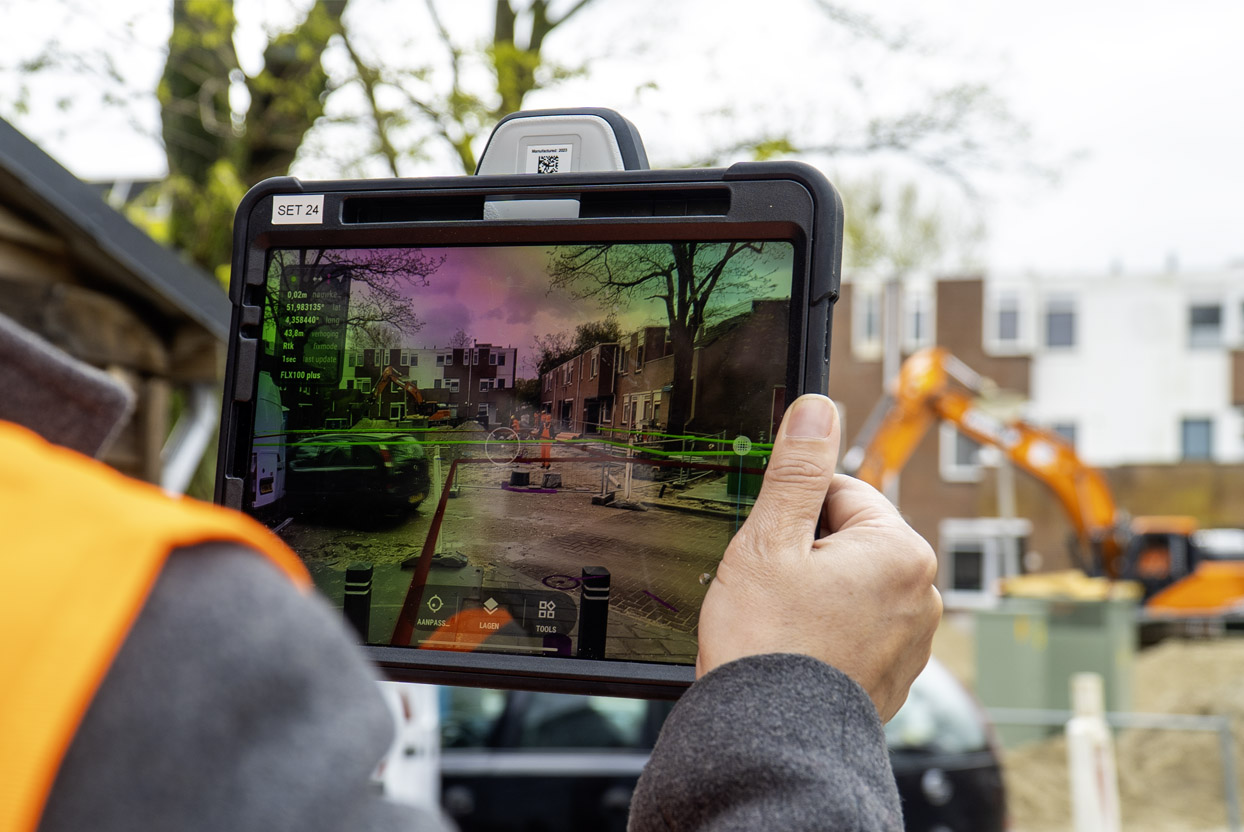
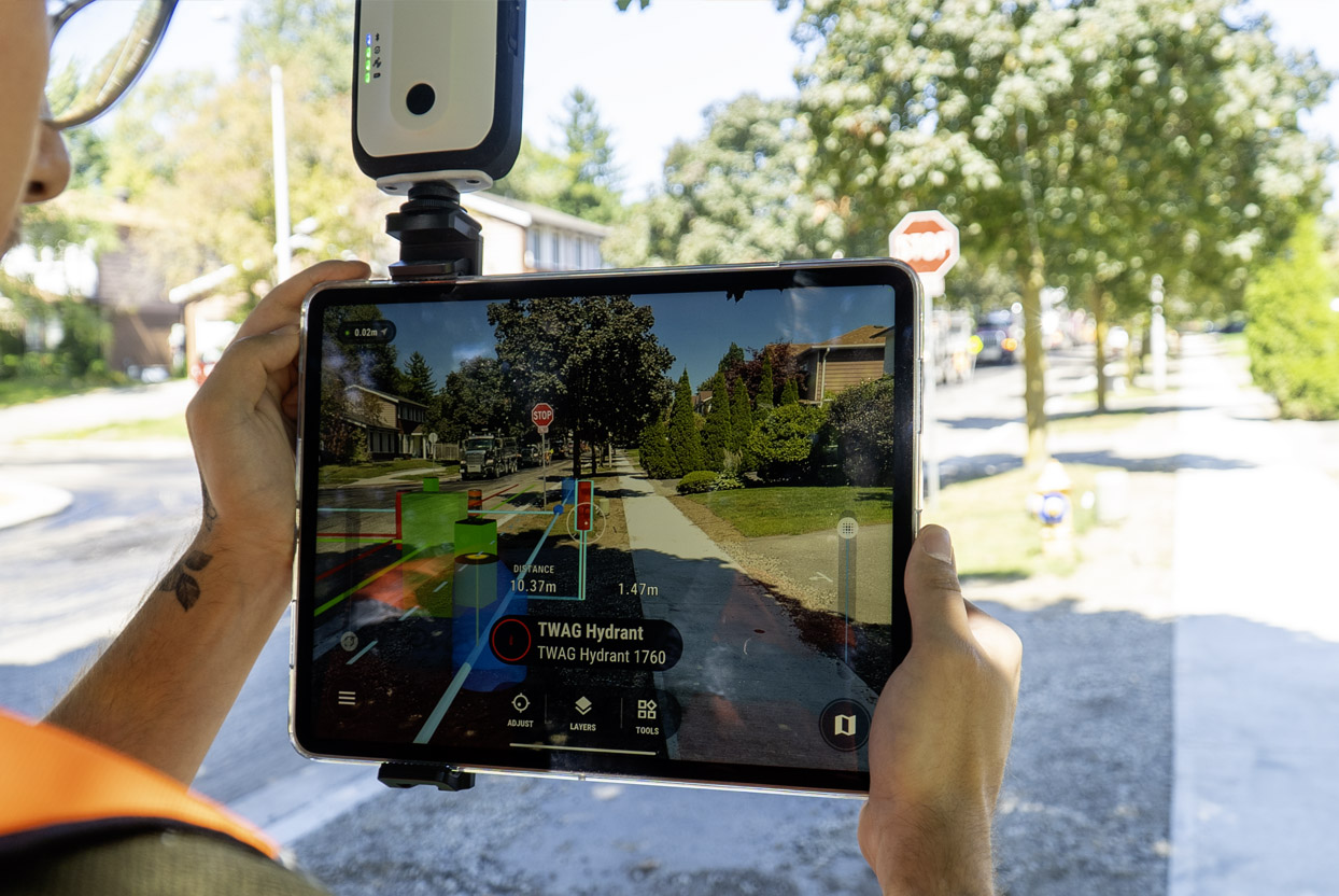
Construction: Enhance excavation safety, make quick decisions, and handle unexpected challenges with construction-grade AR.
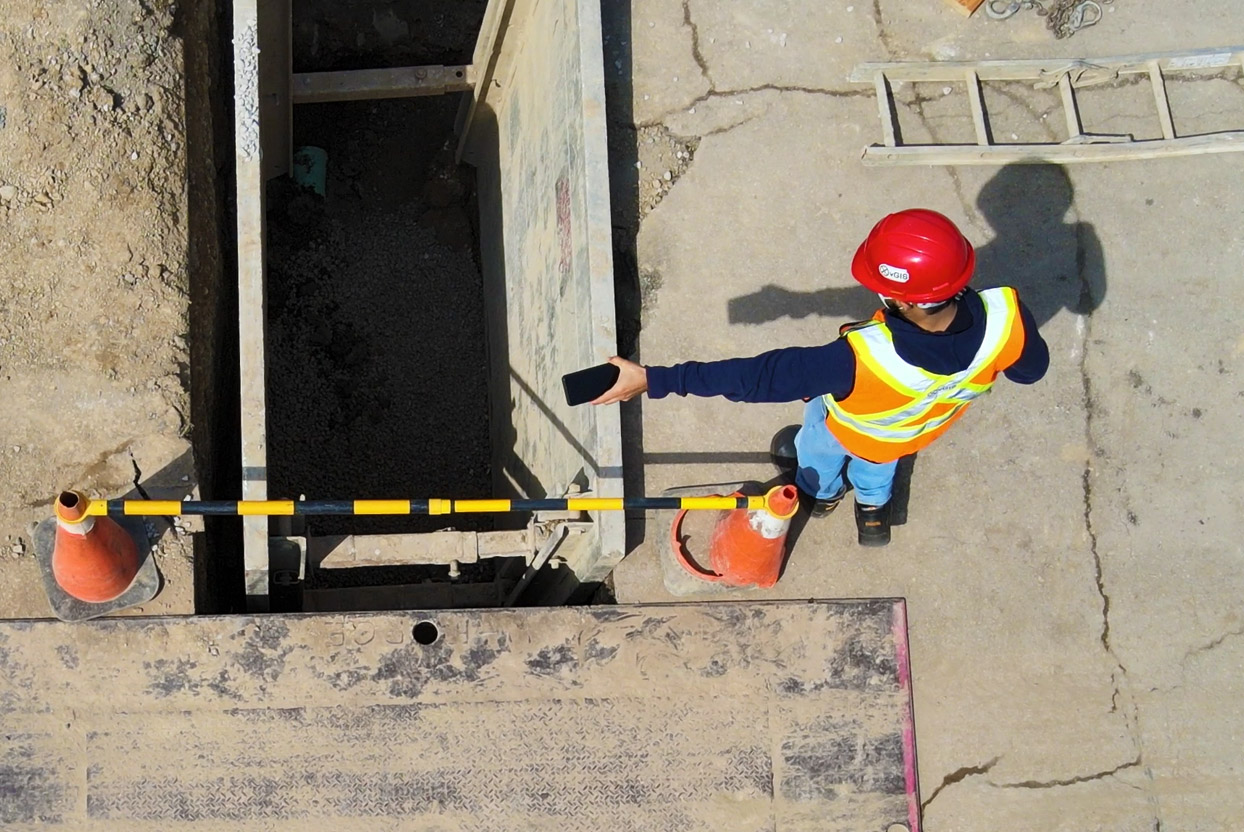
As-Built Documentation: Generate precise digital as-builts, including 3D scans and vector/GIS data, in minutes—no survey crews required.
| Industry Case Study |
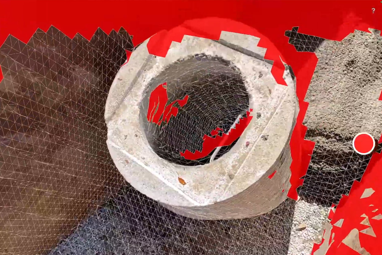
Easy and Accurate Documentation: The user-friendly vSite Scan app allows anyone to create cm-accurate 3D scans, even without technical expertise.
AI-Powered Inspections: Specialized AI validates construction quality and flags issues based on data collected by field teams.
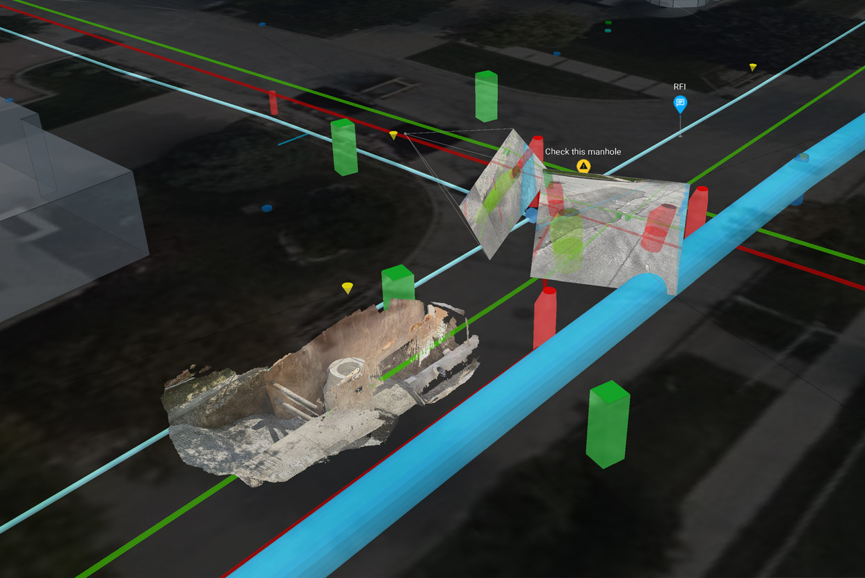
Remote Monitoring: Track progress using the digital twin, review AI-generated reports, and integrate data into your GIS or asset management systems with ease.
| Industry Case Study |
in direct and indirect costs
faster redlining
time saving on single-day jobs
reduction in survey crew engagements
A high-level overview of vSite and how the platform is used to improve infrastructure construction.
This video showcases the benefits of using AR in the AEC space. Atkins/SNC-Lavalin deploys an augmented reality (AR) solution at the bridge construction site commissioned by Parks Canada. This video showcases the benefits of using AR in the AEC space.