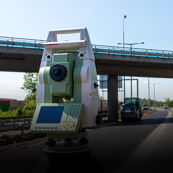
vSite Technical Specification


Hardware support

vGIS supports over 900 devices across multiple operating systems. We continuously expand device support in order to add suitable hardware to the list. vGIS can work with custom and proprietary devices with minimal customization. Contact us for more information.
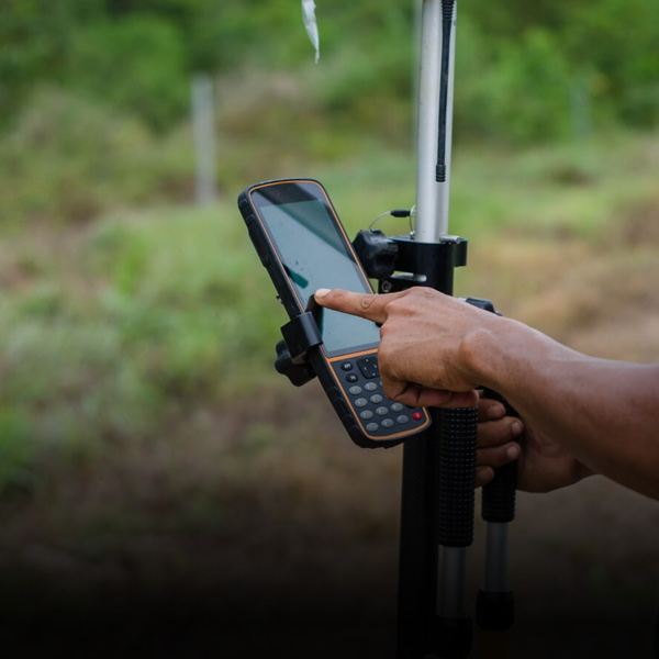
Positioning Methods

* Available for custom projects

Positioning Accuracy

GNSS/RTK*

  • Horizontal: 1 cm + 1 ppm RMS
  • Vertical: 2 cm + 1 ppm RMS
  • Directional: +/-0.1°

GNSS-less*

  • Horizontal: sub-15 cm
  • Vertical: N/A
  • Directional: +/-0.1°

* Best-case scenario

Supported formats

vGIS is designed to aggregate data from multiple sources and formats. The system can display 3D models as accurate to-scale holograms and it can convert traditional 2D GIS data into BIM-quality 3D visuals.

* Contact us for more information

** Requires free plugin

Data integration
  • On-demand
  • Automated persistent
  • Real-time 3D models
  • Real-time 2D GIS data with real-time 3D conversion
Deployment options
  • Microsoft Azure cloud
  • Private Microsoft Azure tenant
  • Specialized Microsoft Azure instances
  • Federal Microsoft Azure cloud

* Requires custom implementation project

Security models
  • Public URL
  • Password-protected data sources
  • Token-protected data sources
  • Active directory authentication
  • Custom
Connectivity
  • Cellular
  • Wi-Fi
Data interpretation
  • Real-time conversion from 2D GIS data to 3D visuals
  • User-defined color-coding, 3D symbology and conversion rules
  • ArcGIS symbology
Collaboration
  • Geo-referenced photo/audio reports
  • Geo-referenced video reports
  • Real-time geo-tracking
  • 3D spatial tagging
  • Remote assistance
Measurements
  • Distance
  • Areas
  • Object to object
  • Ground point to AR objects
  • Multiple ground points and AR objects
Data collection and manipulation
  • Attribute editing
  • Object position adjustments
  • Point data collection
  • Line and area data collection
Visual accuracy components
  • Environmental understanding engine
  • Auto-sizing and auto-scaling
  • Surface scanning


Additional Information

Use cases high-accuracy survey grade augmented reality for GIS AR ArcGIS Esri Trimble Leica BIM MR Bentley mixed reality hololens 2

Technical Details

vSite technical specification

Learn more
vGIS benefits high-accuracy survey grade augmented reality for GIS AR ArcGIS Esri Trimble Leica BIM MR Bentley mixed reality hololens 2

Features

vSite features

Learn more
High-accuracy-survey-grade-augmented-reality-for-GIS-AR-ArcGIS-Esri-Trimble-Leica-BIM-MR-Bentley-mixed-reality-hololens-2

System benefits

vSite saves you time and helps avoid costly mistakes

Learn more