Accurate 3D Scans Made Easy
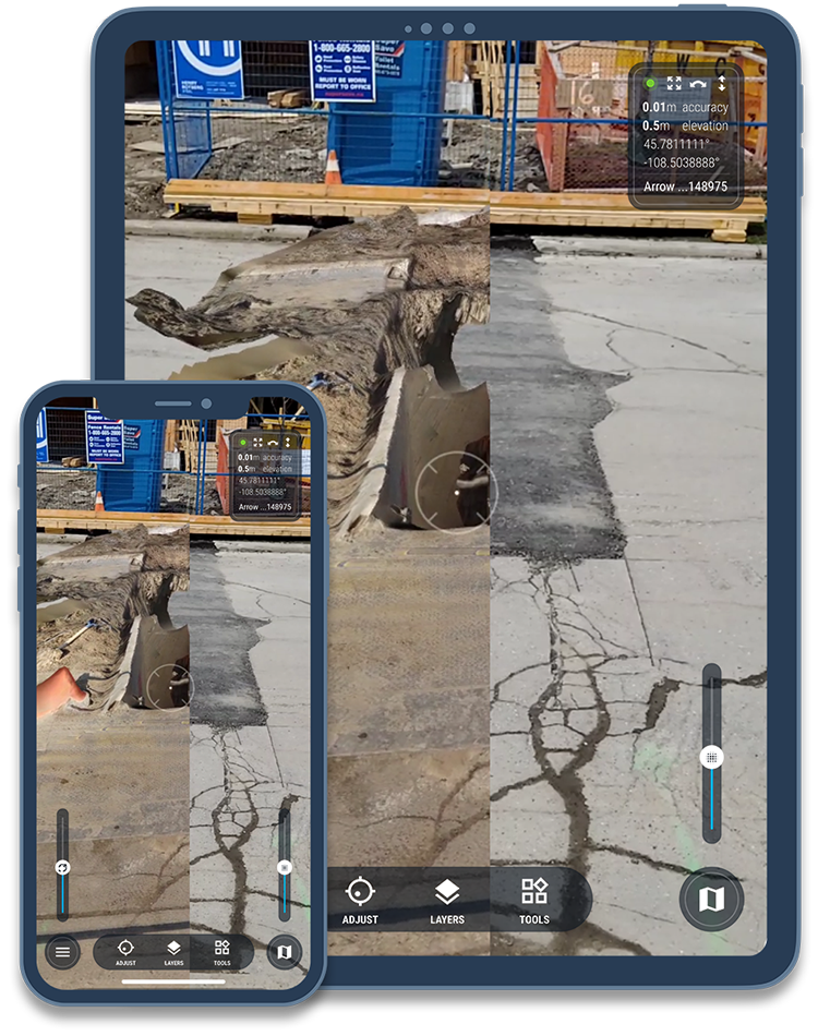
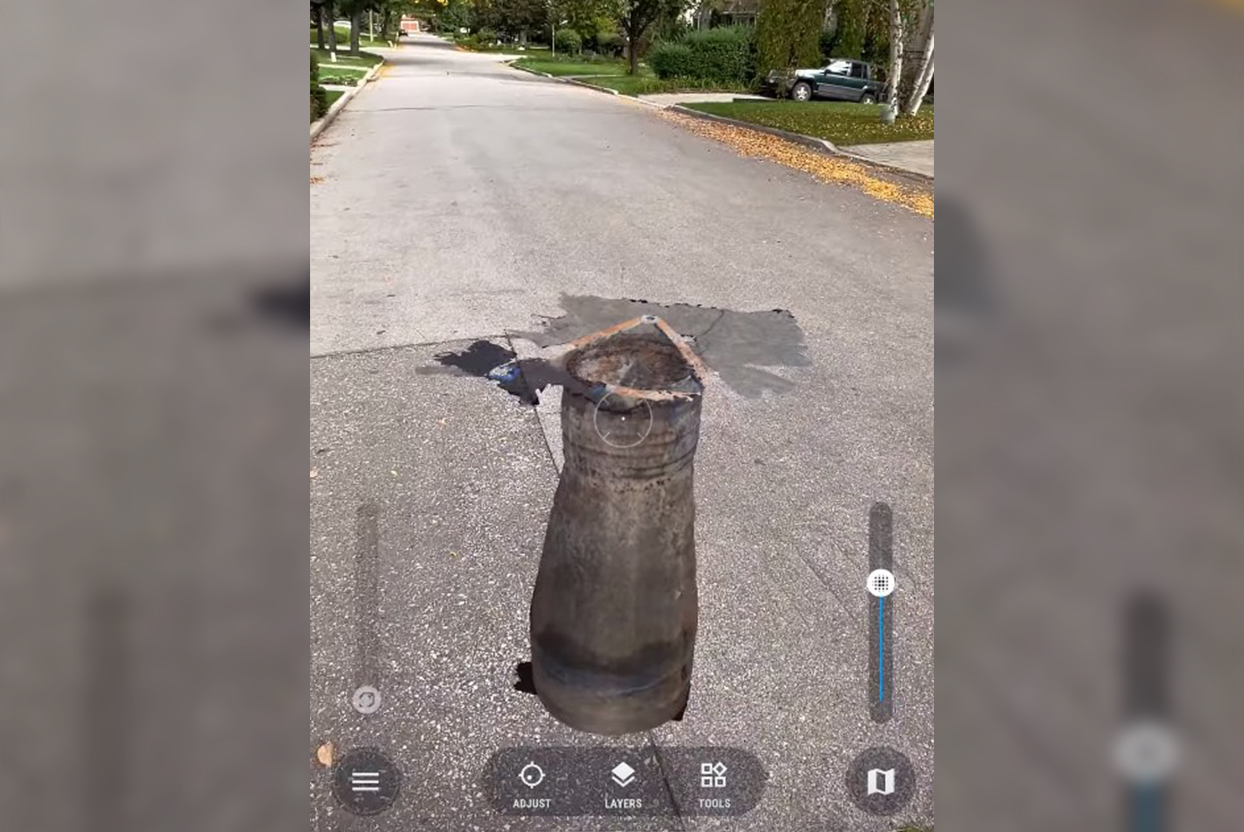
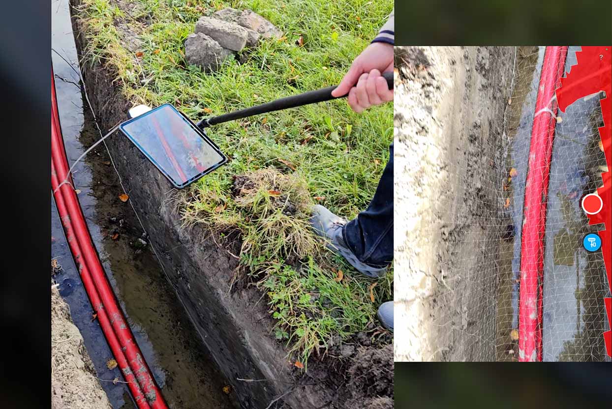
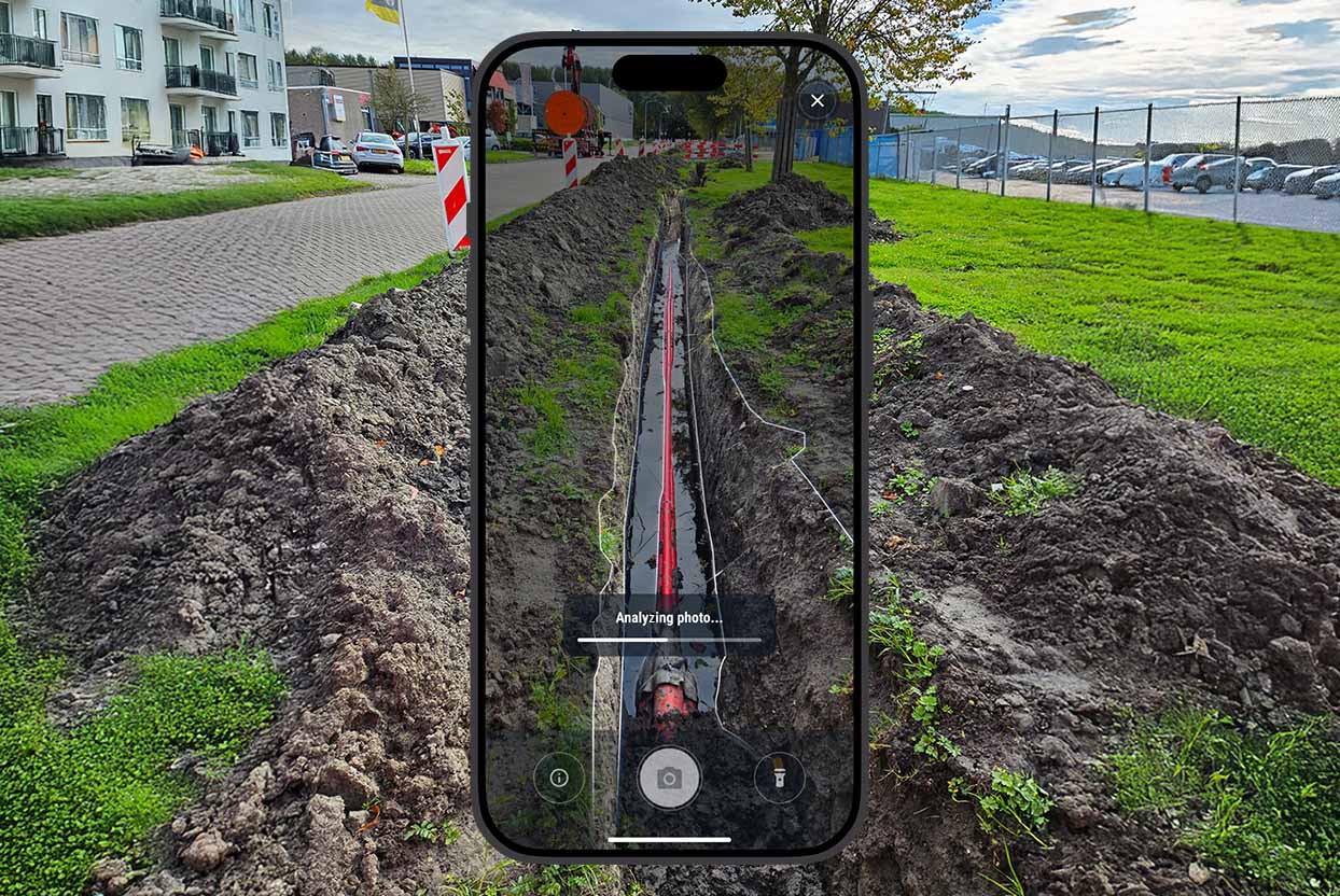
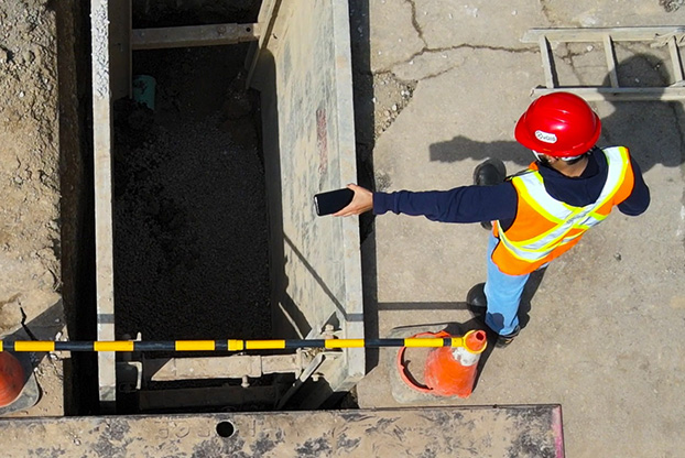
Easily document open trenches and other assets using your iPhone or iPad. Designed for non-technical users, vSite enables you to capture precise, geolocated 3D scans with just the push of a button.

Easily document open trenches and other assets using your iPhone or iPad. Designed for non-technical users, vSite enables you to capture precise, geolocated 3D scans with just the push of a button.
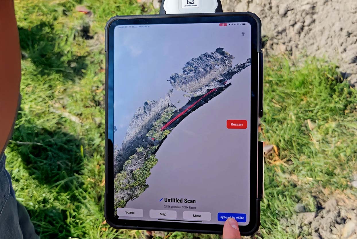
vSite simplifies 3D scanning for everyone—no technical expertise required. With a single button press on your iPhone Pro or iPad Pro, you can collect highly accurate 3D scans and instantly validate their accuracy, eliminating the long wait times typically associated with photogrammetry.
vSite empowers your team to work smarter, faster, and with greater precision—no matter the project size.
| Explore Case Study |
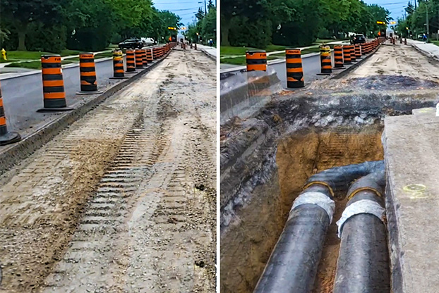
Accurate 3D scanning is essential for documenting job sites in today’s construction industry.
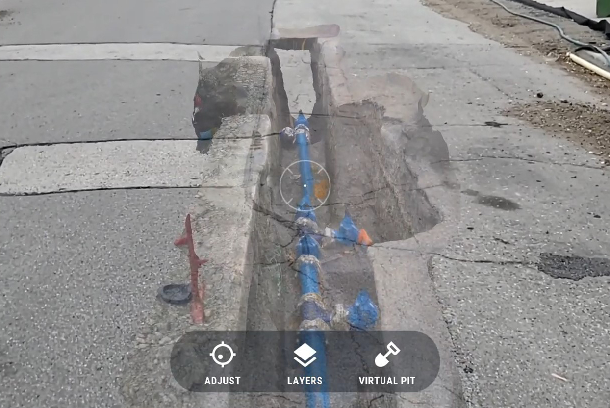
vSite offers the simplest and most efficient solution for site documentation. Designed with non-technical users in mind, vSite allows you to collect highly accurate data with just the push of a button. Accuracy is then instantly validated, reducing reliance on surveyors for tasks that don’t require specialized expertise.
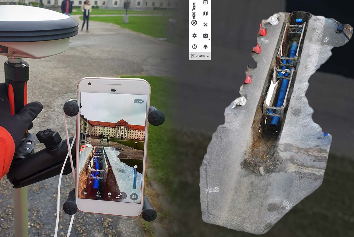
The collected data becomes immediately available to your entire project team through real-time integration with digital twin.
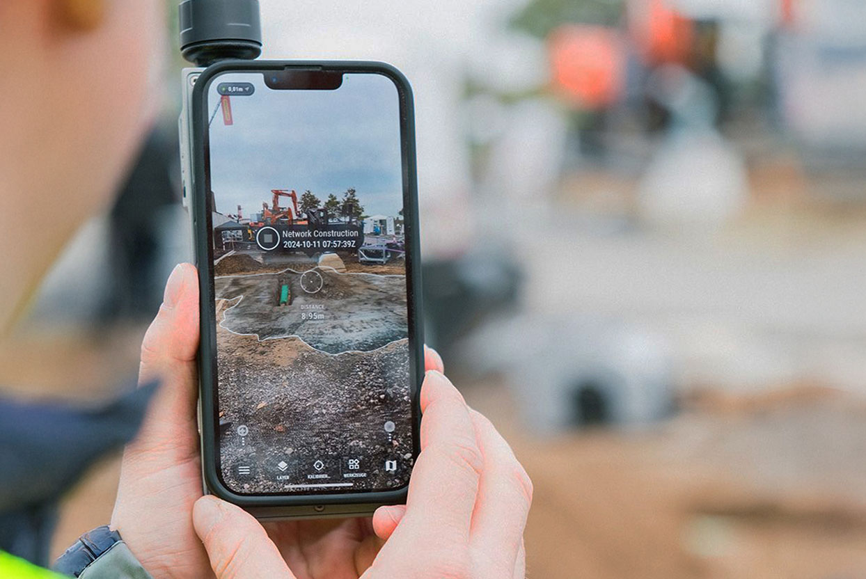
Powered by advanced AI capabilities, vSite delivers actionable insights within seconds—eliminating the need for manual reviews. Combined with its lag-free 3D scanning solution, vSite empowers you to complete tasks in minutes, not days.
to complete a scan
No per-scan costs
average processing time
availability of scans in 3D digital twin