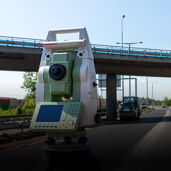
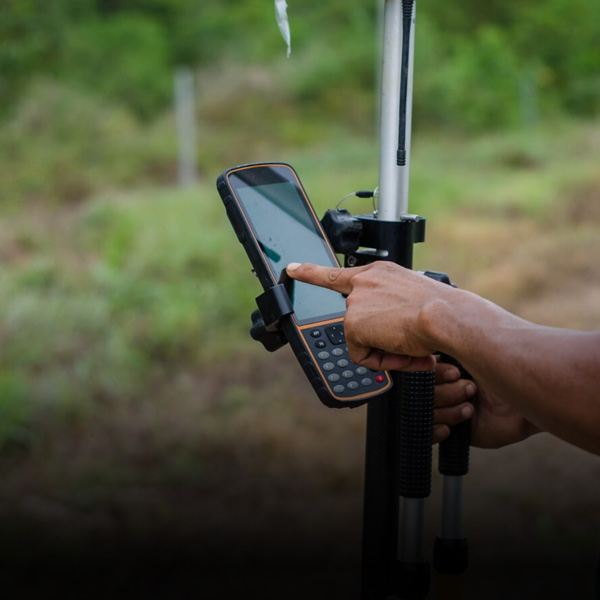
vSite replicates your job site as a “Digital Twin” – a web-based 3D view of exactly what is being built and where, with layers of detail only high accuracy augmented reality can provide.
vSite offers a single reliable 3D view of what is being built, where, on a job-site. All information/CDEs integrated in one place, linked to location, and instantly accessible from anywhere.
vSite is designed to reduce the distance between the field and the office, improve productivity, reduce human errors and accidents, optimize documentation, and enhance communication and collaboration in real world field environments.
ROI |
Up to 20:1-25:1 in direct and indirect costs |
||
|---|---|---|---|
Time savings |
Up to 20 hours per month for active users |
||
Per job time savings |
Up to 2 hours time saving on single-day jobs |
||
As-built documentation |
Up to 90% faster survey-grade as-built documentation |
||
As-built documentation |
Up to 95% cheaper survey-grade as-built documentation |
||
Survey crew engagement |
Up to 100% reduction in survey crew engagements |
||
Utility locates |
35–50% faster locates of 30 minutes or longer |
||
Utility locates |
50-60% faster locates in areas with existing reality capture records |
||
Quality checks |
65–80% less time required for quality checks and locate validations |
||
Quality checks |
3x more errors caught during first inspection |
||
Situational awareness |
50–80% faster understanding of surrounding infrastructure with up-to-date GIS records |
||
Situational awareness |
4 times faster understanding of surrounding infrastructure in areas with reality capture records |
||
Excavation cost |
$1,000 projected per-job savings with existing reality capture records |
||
| GIS issue reporting |
80–95% quicker GIS and record-correction submissions |
||
Explore the case study below to learn more about vSite’s real-life benefits.
Industry Case Study


