High-Accuracy Augmented Reality Software and Hardware
An ecosystem of best-in-class GNSS receivers and software components—plus the leading augmented-reality solution—provides unmatched capabilities in versatile, compact, and affordable packages.
An ecosystem of best-in-class GNSS receivers and software components—plus the leading augmented-reality solution—provides unmatched capabilities in versatile, compact, and affordable packages.
vGIS works with industry leaders to offer seamless integrations of the best holographic, geospatial, and engineering software and hardware components.
We continuously evaluate and identify the best tools to power our high-accuracy augmented reality (AR), AR Reality Capture, and AR data collection.
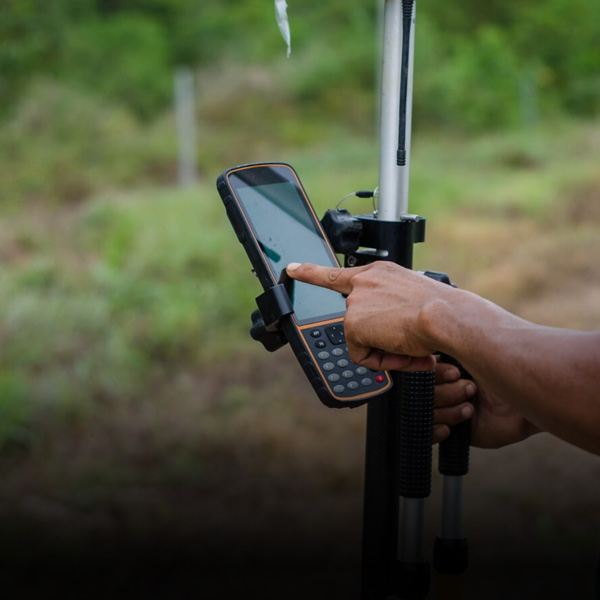
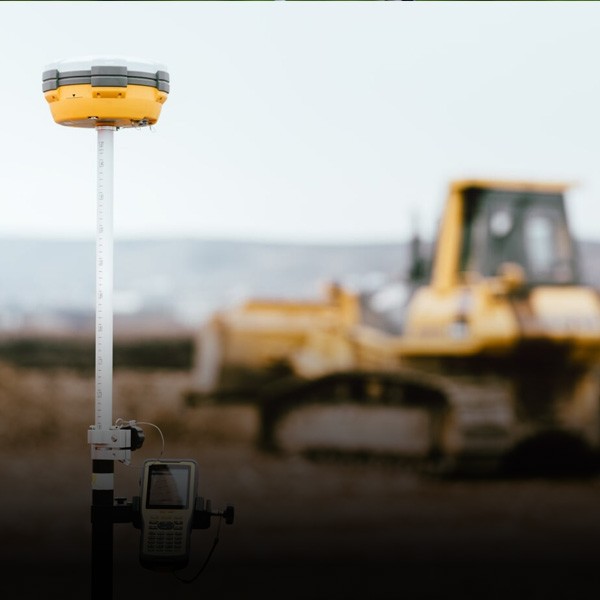
Using the best GNSS, sensors, and software platform enables field crews to get the most out of BIM, GIS, and Reality Capture data even in the most challenging conditions.
The best hardware and software delivers the best results.
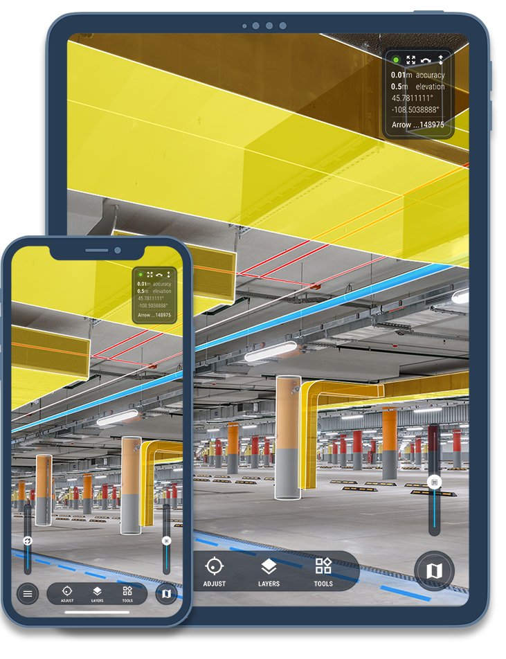
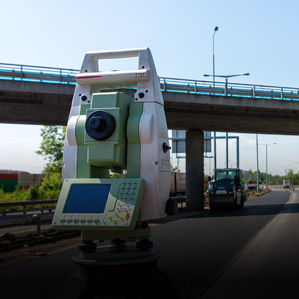
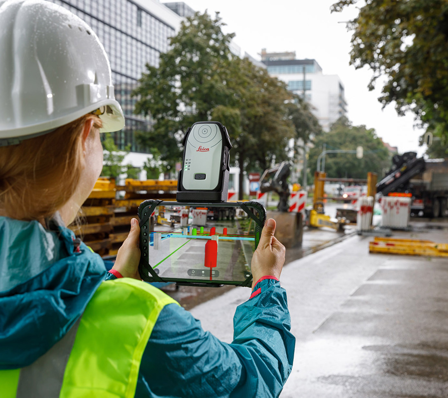
High-accuracy augmented reality requires top-of-the-line hardware that works hand in glove with the AR software. In collaboration with Leica Geosystems, vGIS delivers survey-grade AR capabilities in portable, reliable, and affordable packages.
Combining vGIS's extended reality visualization platform with Leica's centimeter-level positioning hardware enables you to experience augmented reality more sharply and vividly than ever.
If you are looking for a capable, high-accuracy augmented reality solution, look no further.
to offer exceptional value in our packages and promotions