Civil Engineering and Linear Construction
Replicate your job site as a Digital Twin to instantly see what is being built and where, with unmatched accuracy and clarity.
Replicate your job site as a Digital Twin to instantly see what is being built and where, with unmatched accuracy and clarity.
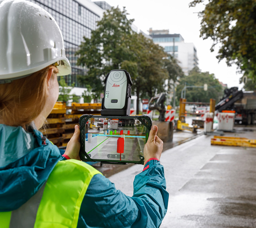
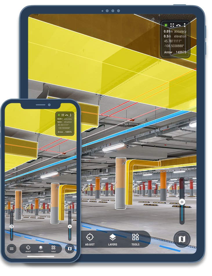
Streamline planning, execution, and documentation with vSite’s augmented reality (AR) and digital twin tools. Visualize your project in the real-world environment to catch potential errors before they escalate.
vSite integrates seamlessly with your existing CAD, BIM, GIS, 3D scans, and other design files to overlay a 3D holographic model with centimeter-level accuracy onto your job site. Easily compare “what should be built” with “what has been built” to detect discrepancies. Document progress with georeferenced photos and scans, which can be quickly shared with your entire team.
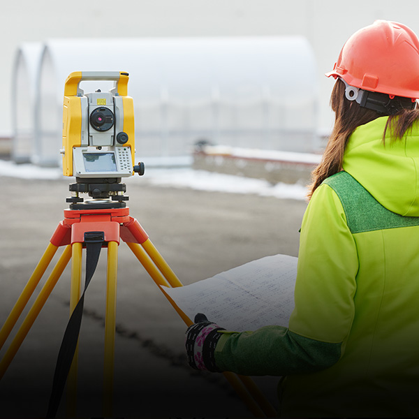
Use off-the-shelf hardware like GNSS devices, total stations, Android and iOS devices, or advanced tools like Magic Leap for precise results with minimal cost and training.
| Industry Case Study |
Displaying design drawings as 3D objects in Augmented reality and digital twin gives you:
Project efficiency with improved collaboration, simplified workflow, improved communication, and increased productivity.
Project quality with improved accuracy, issue resolution, and error reduction.
Project safety with better understanding of your surrounding and improved work safety environment.
vSite is easy to use and automatically creates an accurate 3D digital twin and Augmented Reality of the worksite using design files including BIM and GIS datasets (IFC, DWG, DXF, and many others) or from Common Data Environments (CDEs) Autodesk Construction Cloud (BIM 360), Bentley iTwin, Esri ArcGIS, and many others.
understanding of site surroundings
review of potential clashes
in time required for clash reviews
reduction in survey crew engagements
This video showcases the benefits of using AR in the AEC space. Atkins/SNC-Lavalin deploys an augmented reality (AR) solution at the bridge construction site commissioned by Parks Canada. This video showcases the benefits of using AR in the AEC space.
Visualizations from a project designed to create the adoption path for AR in the AEC/civil construction industry. The work was performed by the EBC Inc. (Montreal, Canada).