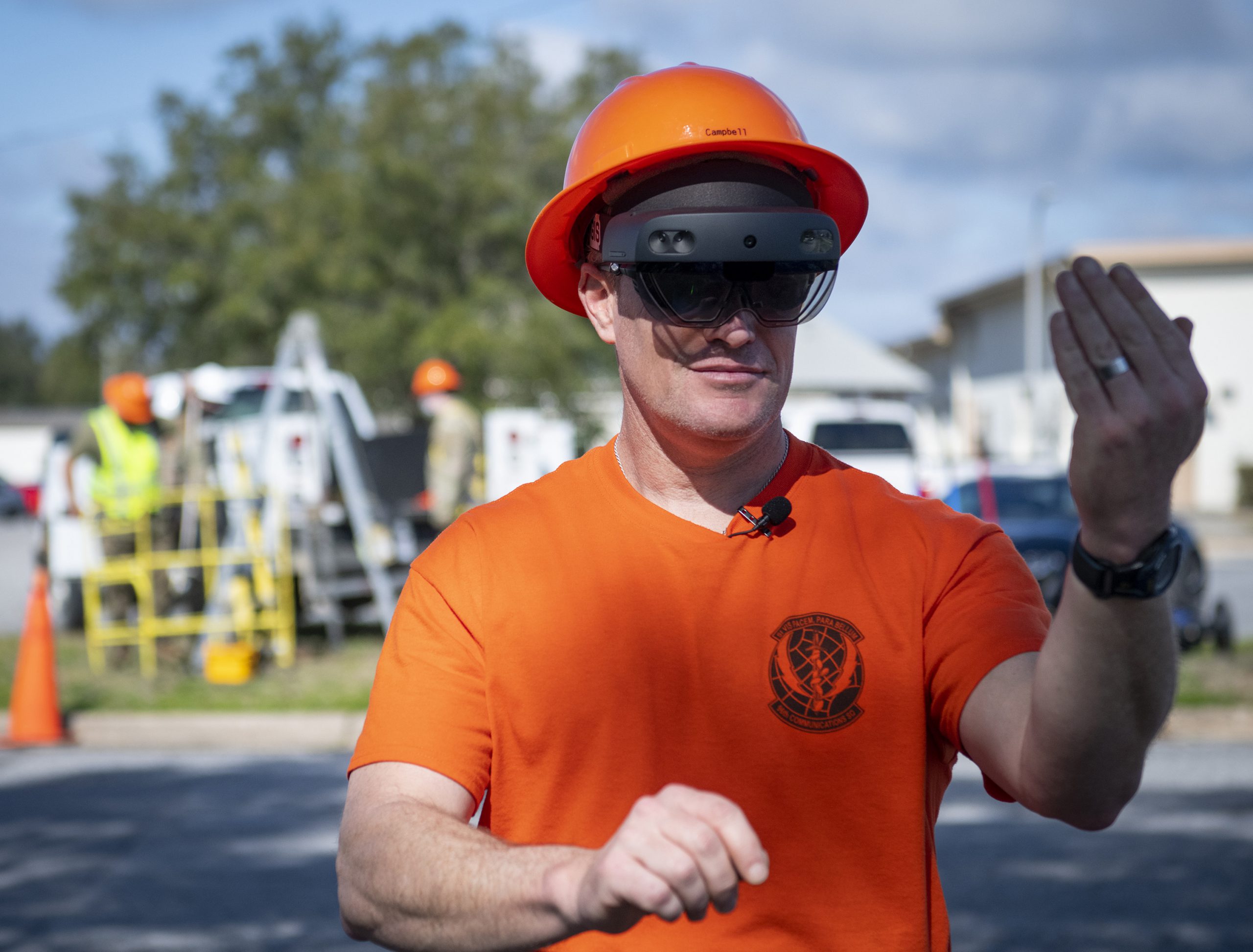
Build with HoloLens and Magic Leap
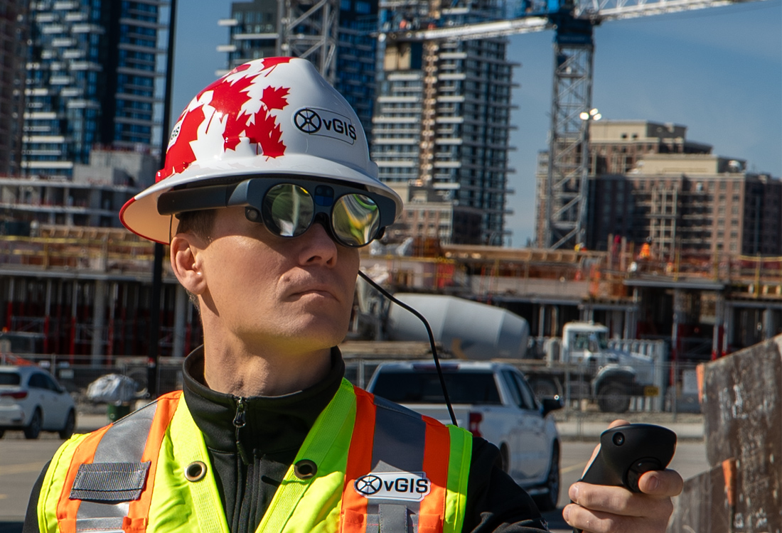
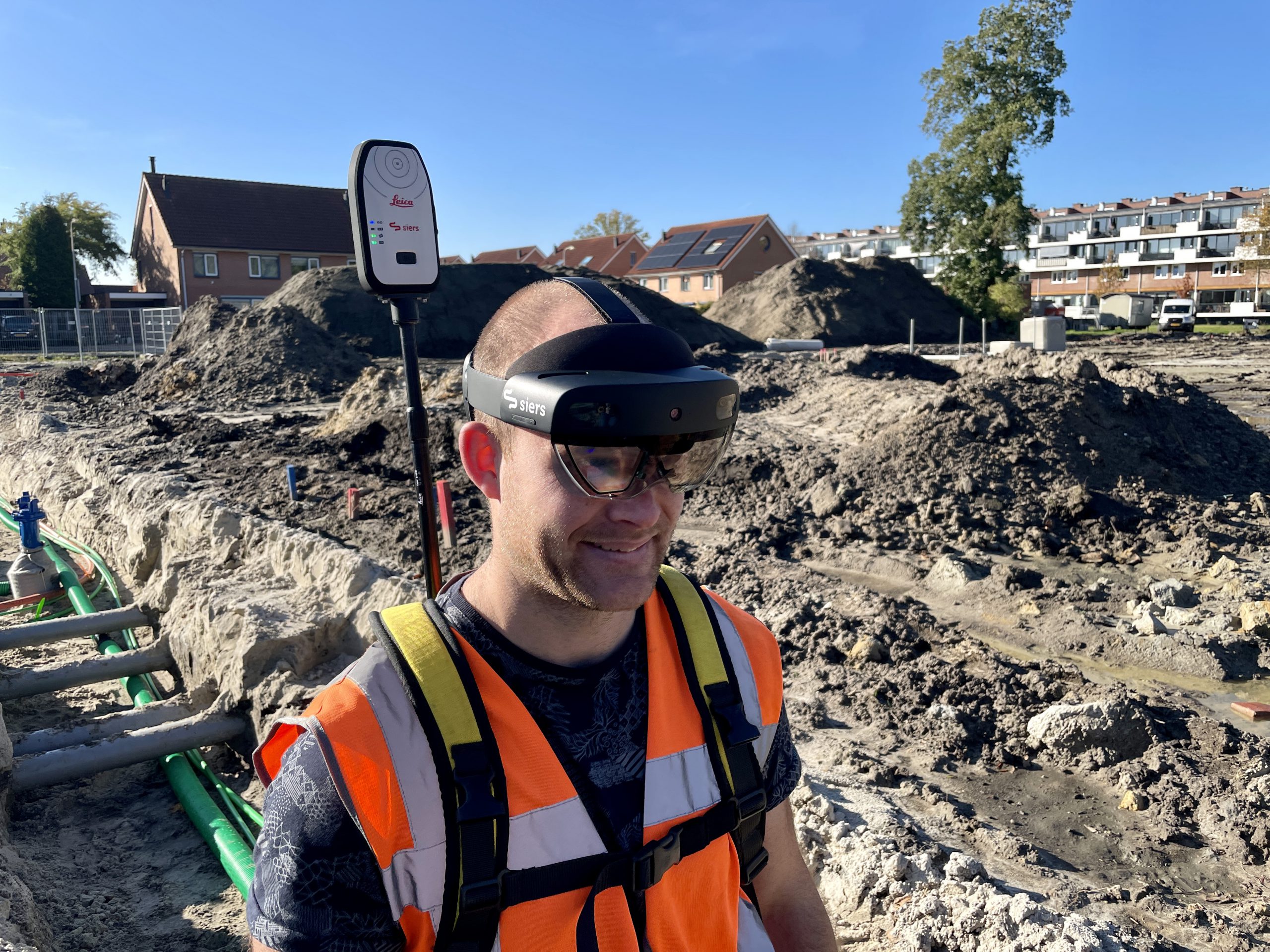
Use the power of Microsoft HoloLens 2 and Magic Leap 2 to display BIM models, GIS data, and 3D scans in lifelike holograms. Future-proof your operations while creating value today.
Use the power of Microsoft HoloLens 2 and Magic Leap 2 to display BIM models, GIS data, and 3D scans in lifelike holograms. Future-proof your operations while creating value today.
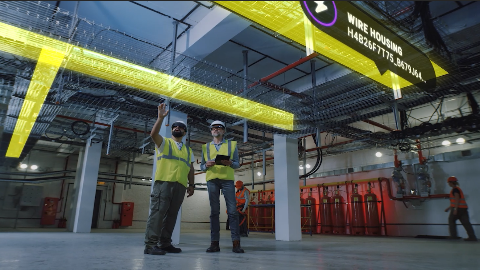
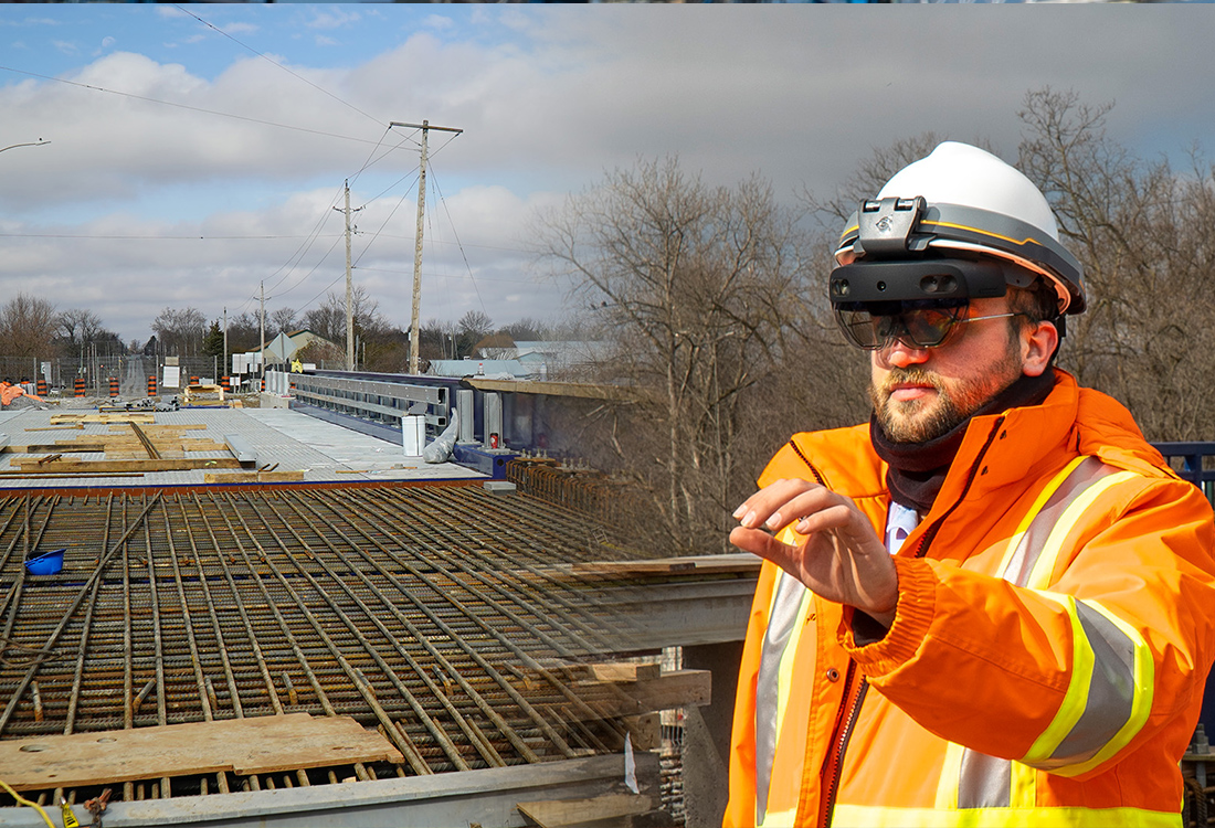
vGIS uses the Microsoft HoloLens 2 and Magic Leap 2 to visualize BIM, GIS, and 3D scan data as holograms to create a natural extension of the real world.
By integrating natively with the BIM and GIS formats, vGIS eliminates the need to prepare and process data manually. Once updated in Autodesk Build (BIM 360), Bentley iTwin, or Esri ArcGIS your data automatically appears as 3D holograms.
Deployed to optimize field services and improve decision-making in boardrooms with real-time bird’s-eye views, vGIS products designed for the HoloLens 2 and Magic Leap 2 deliver real-world benefits.
| vGIS App Components |
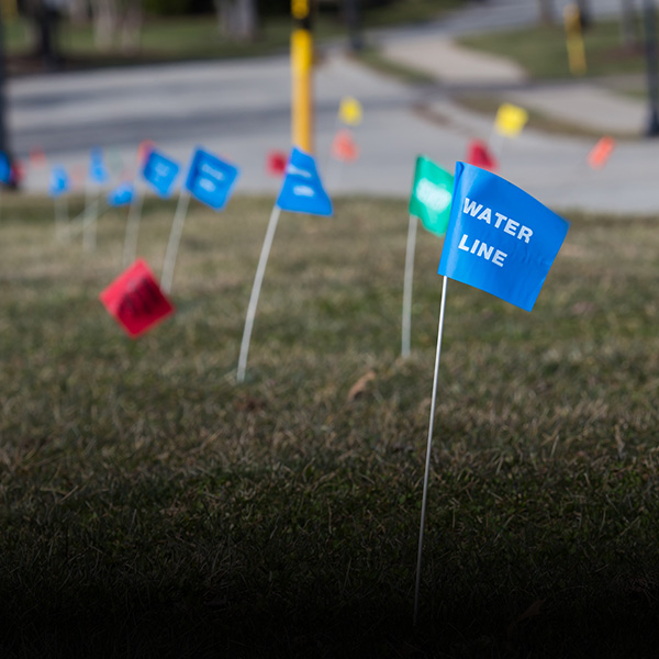
No more QR codes or markers. vGIS's HoloLens app uses the same patented and patent-pending algorithms that give vGIS mobile apps their superior accuracy.
The technology enables automatic, real-time outdoor positioning that is accurate to within a centimeter and +/-0.05°, projecting 3D holograms exactly where they should be. vGIS features real-time drift detection that corrects any positioning or directional inaccuracies automatically.
The technology can be applied much more widely than in the use cases that are currently being targeted with the vGIS system, and vGIS licenses positional technology to other companies.
real-time horizontal accuracy
real-time directional accuracy
faster understanding of designs
less time required for clash reviews
Powered by Microsoft Azure and Microsoft HoloLens, vGIS AR solution transforms traditional GIS data into augmented reality displays, allowing users to gain new insights, simplify fieldwork, increase safety and reduce errors and delays.
Powered by Microsoft Azure and Microsoft HoloLens, vGIS AR solution transforms traditional GIS data into augmented reality displays, allowing users to gain new insights, simplify fieldwork, increase safety and reduce errors and delays.