We’d love to work with you!
Contact us to find out how engaging an expert team to handle your mixed reality and augmented reality project can bring it to life with predictable results while saving you time and money.
We are an award-winning team of mixed reality developers who specialize in helping you visualize spatial data. We focus on developing practical mixed reality tools for firms in the architecture, engineering , and construction (AEC) industries and in the oil and gas industry. Our unique specialization, know-how and and an array of proprietary components make it possible to rapidly deliver value to your business. Scroll down to learn how we can ensure that your mixed reality project achieves predictable outcomes faster and cheaper.
We can make your vision a reality by leveraging our experience with spatial data and visualization technologies.
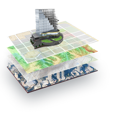
GeospatialData
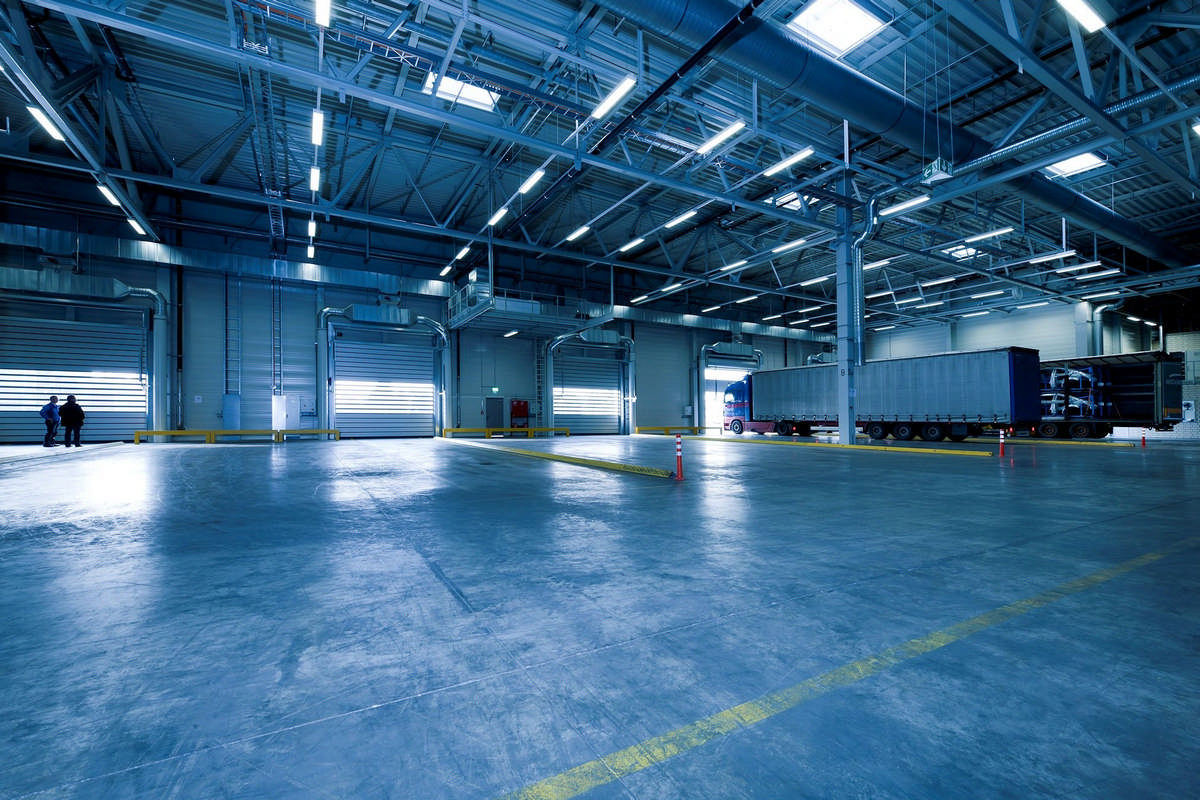
Oil and gas, architecture, engineering, and construction (AEC) firms accumulate vast amounts of BIM and GIS data. Visualization tools unlock more of the value of this data by putting it to new uses.
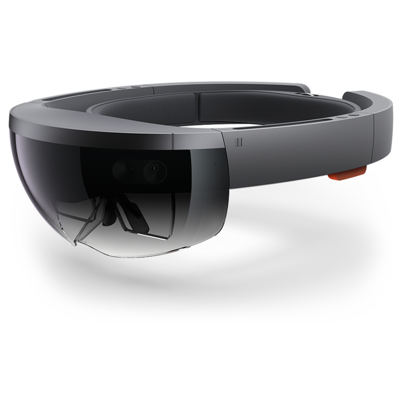
MixedReality
Blending the physical and the virtual, mixed reality allows users to experience virtual objects as if they were part of the real world. It creates countless opportunities for developing cutting-edge productivity apps.

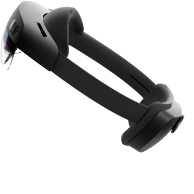
Augmented Reality
The ubiquity of mobile devices means that you can put your app into everyone’s pocket. The accessibility of augmented reality makes it part of a natural user experience in a broad range of industrial applications.
We have the industry experience and expertise in mixed reality that are needed to turn your ideas and data into practical applications. “vGIS helped us develop a clear path for what we wanted to do with HoloLens.” - Gulfport Energy
Thanks to the tens of thousands of project hours we have invested in integrating HoloLens with spatial data for the AEC and oil and gas industries, we can accelerate the development of your project. “The vGIS team knew exactly what to look for and how to instrument our data into 3D experiences.” - TRMUA
It’s your vision. We’re just helping you actualize it. With your ideas and our expertise, we can create spatial visualization experiences that deliver real value to your business. “Our engineering teams can spot errors faster, and make better decisions that have prevented cost overruns.” - EWR
Your product. Your branding.If your product requires custom branding to fit within your product portfolio, vGIS can white-label the app even if it is built with vGIS components.


Make your design reviews more productive by transforming discussions of 2D blueprints into immersive walkthroughs of 3D mixed reality.
Be a more effective competitor by showing prospective bidders and clients exactly what needs to be done and exactly how design proposals would look when completed.
Field services teams can see—instantly—whether their projects are proceeding according to design plans.
Our team has been consistently recognized as one of the best in the industry for our work visualizing spatial data.


We are experts in geospatial MR and AR with a history of delivering highly successful industry solutions. Among them is vGIS Utilities, a ground-breaking visualization platform for spatially referenced data. Deployed by companies around the world, vGIS has helped them to increase productivity while reducing accidents.
Find out more by following this link.