By Michael A Twohig, Subsurface Utility Mapping at DGT Associates
Subsurface Utility Mapping. Design Mistakes. Looking at a construction project plan set in 2D it can be difficult to see the final outcome. During my subsurface mapping projects, I see numerous projects that did not have a final outcome the owner or the engineer expected. While some flaws and errors get resolved before final project delivery others exist to this day and you wonder, “what the heck were they thinking?”
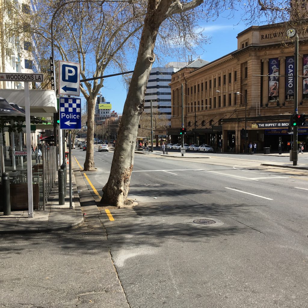
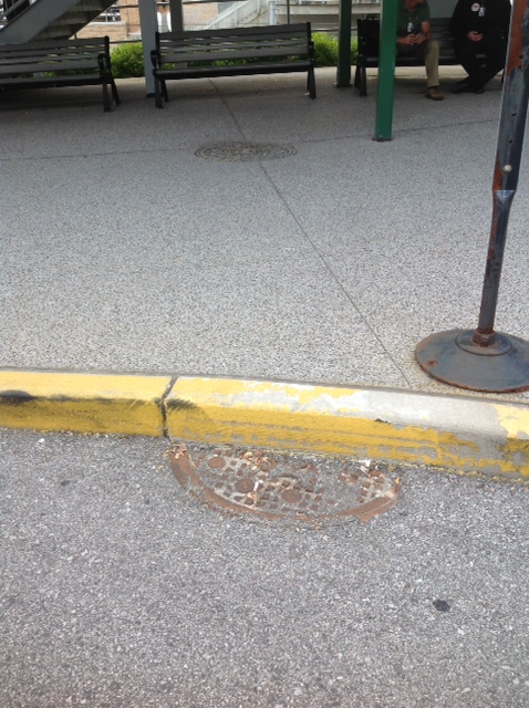
This manhole cover in St Louis was presently closed. While mapping the underground utilities for the Light rail project in Adelaide’s CBD we encountered these trees in the travel lanes. As an avid cyclist, I wonder what is risk to bike riders and motorists. The scars on the trees are a testament that confirm my concerns are real.
3D Visualization of the above and below ground infrastructure could help projects teams resolve conflicts early in the project design and ensure a safe and successful project delivery.
Original article: https://www.linkedin.com/pulse/3d-visualization-above-below-ground-infrastructure-help-twohig