Most people know Pokémon Go as a popular mobile game that sends players outside to search for virtual creatures. But behind the scenes, the game is also contributing to something much larger: helping to build a detailed, intelligent map of the real world.
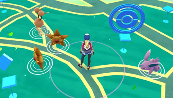
The game’s developer, Niantic, recently announced that it is using data collected by players to train what it calls a “Large Geospatial Model.” This system is designed to help computers understand physical spaces in the same way that people do. While players use their phones to explore parks, streets, and landmarks, some choose to scan real-world locations through a feature in the game. These images, tagged with location data, are then used to create a 3D view of those places.
Niantic says it has received over 10 million scans from users, with about 1 million new ones submitted each week. These scans help power the company’s Visual Positioning System, which can determine a phone’s location with very high accuracy using just a single image. According to Niantic, the system already works in more than a million public places around the world.
What makes this approach different is how the data is collected. Traditional maps often rely on satellite imagery or street-level photos taken from cars. In contrast, Pokémon Go’s mapping system is built from the perspective of people walking through spaces. This means it can include details in areas that cars can’t access, like walking trails, parks, and small alleyways.
Niantic’s goal is to use this information to improve future experiences in augmented reality (AR). The company believes this technology could eventually support other fields too, including navigation tools, robotics, and even smart city planning.
Where This Connects to vGIS
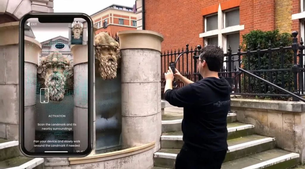
While vGIS doesn’t gather data from public games or crowdsourced images, our work shares similar goals. At vGIS, we help people see and interact with location-based information in a clearer way using AR. Our platform is often used to display things like infrastructure, utility lines, or 3D models, layered directly over the real world. This helps field teams better understand what’s beneath or around them without relying on paper maps or complex software.
The recent developments from Niantic show how fast mapping and visualization technology is evolving. More people are contributing to digital maps, and tools that understand the world visually are becoming more advanced. For companies like vGIS, this opens the door to new possibilities, such as using richer visual data to improve accuracy, or create even more helpful AR experiences for users in the field.
As the technology grows, one thing is clear: the line between the digital and physical world is becoming easier to navigate. And while it may have started with a game, the results could shape how we all see and work in the world around us.