
Utility locators play a critical role in preventing strikes, delays, and costly rework. Yet despite advances in GPS, GPR, and electromagnetic locators, many workflows still rely on processes that haven’t changed much in decades. Data is often collected in the field, reviewed hours or days later, and then recreated again for future projects, even when conditions haven’t changed.
As construction demands grow and utility networks become more congested, there is increasing pressure to make locates more accurate, more consistent, and easier to verify. New geospatial tools, including GPR integrations, GIS platforms, and augmented reality visualization, are helping the industry move in that direction.
Why Digitizing Locates Matters
Legally, utility locates must be performed every time a dig ticket is issued, even if the same site was scanned previously. However, digitizing these locations still provides significant value.
A complete digital record helps locate providers, utilities, and 811 centers to understand past conditions. If previous scans confirmed that no utilities exist near a specific point, or if a difficult locate produced confusion due to signal bleed or poor tone, digital history helps reduce uncertainty and avoid repeated guesswork.
Digital records also support long-term planning, risk mitigation, and engineering. They provide clarity in disputed areas, assist with quality assurance, and make it easier to compare conditions over time, especially important as networks age or become more congested.
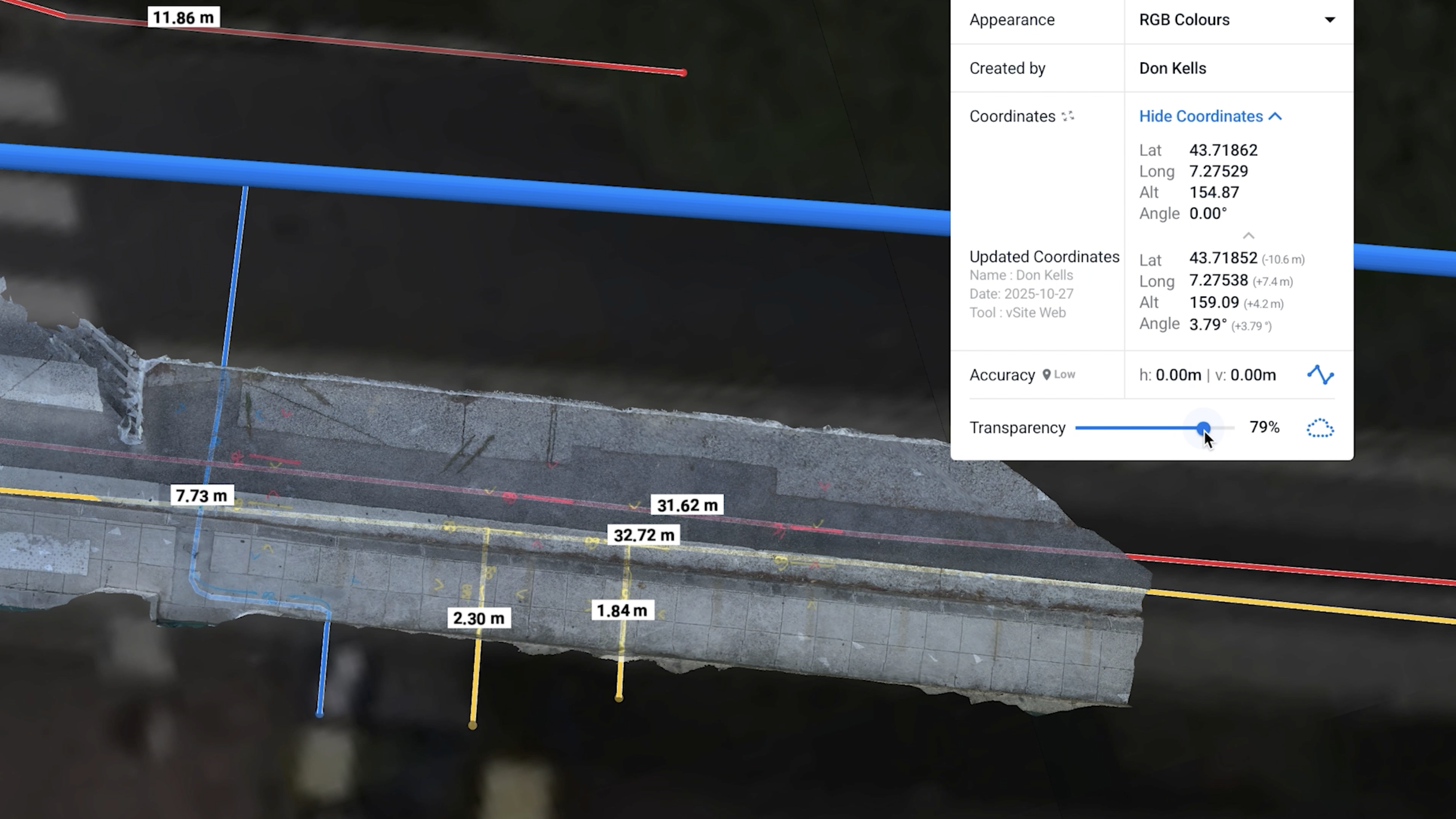
Closing the Real-Time Visibility Gap in Field Collection
Another longstanding issue is that many GPR and locator workflows lack immediate on-site visualization. Crews can collect data, but reviewing it often happens back in the office, where problems with coverage, alignment, or quality only become apparent after it is too late to correct them without returning to the field.
This delay affects accuracy, increases costs, and makes difficult locates even harder to resolve.
This is exactly the gap vSite is designed to solve.
By pairing a mobile device directly with the GPR or locator, field staff can capture data and view it instantly in augmented reality. Instead of waiting hours or days to validate findings, crews can confirm utility paths, review their work immediately, and catch issues before leaving the site.
With our workflow, teams can also capture a LiDAR scan immediately after the locate. This adds surface geometry to the record, providing an extra layer of spatial context and confidence in the final utility positions.
Together, our real-time visualization and rapid surface capture dramatically reduce rework and improve accuracy in challenging conditions—from congested corridors to sites with deep utilities or noisy electromagnetic environments.
Building Better Locate Records with GIS
Once collected, digital locate data becomes even more valuable when stored in a GIS environment. Centralizing GPR interpretations, depths, marks, LiDAR geometry, and notes makes it easier for:
- Utilities to track difficult-to-locate zones
- Contractors to understand past conflicts
- Engineering teams to plan safely
- 811 centers to interpret high-risk areas
- Field crews to access site history
GIS also helps ensure consistency between teams, reduces dependency on tribal knowledge, and supports long-term infrastructure improvement.
At vGIS, we focus on turning complex utility data into clear, reliable spatial insight. Our AR-based visualization tools allow users to see subsurface utilities, GPR interpretations, and locator data overlaid directly into the real world, at full scale and in real time.
By combining GPR integrations, LiDAR capture, and GIS connectivity, our solution gives locate crews the tools they need to collect better data, validate it instantly, and maintain accurate, traceable digital records.
As the industry moves toward smarter, more transparent utility mapping, workflows that combine GPR, GIS, and AR will play a major role in reducing risk, improving accuracy, and helping field crews work with confidence.