
Bilbao Takes Flight Toward a 3D Digital Twin
The City of Bilbao has launched a major modernization project that will transform its mapping system from legacy 2D into a high-precision, 3D platform. With an investment of just over €744,000, the initiative uses photogrammetric flights, ground control surveys, and advanced processing to deliver updated cartography by 2026 and prepare the city for a full digital twin.
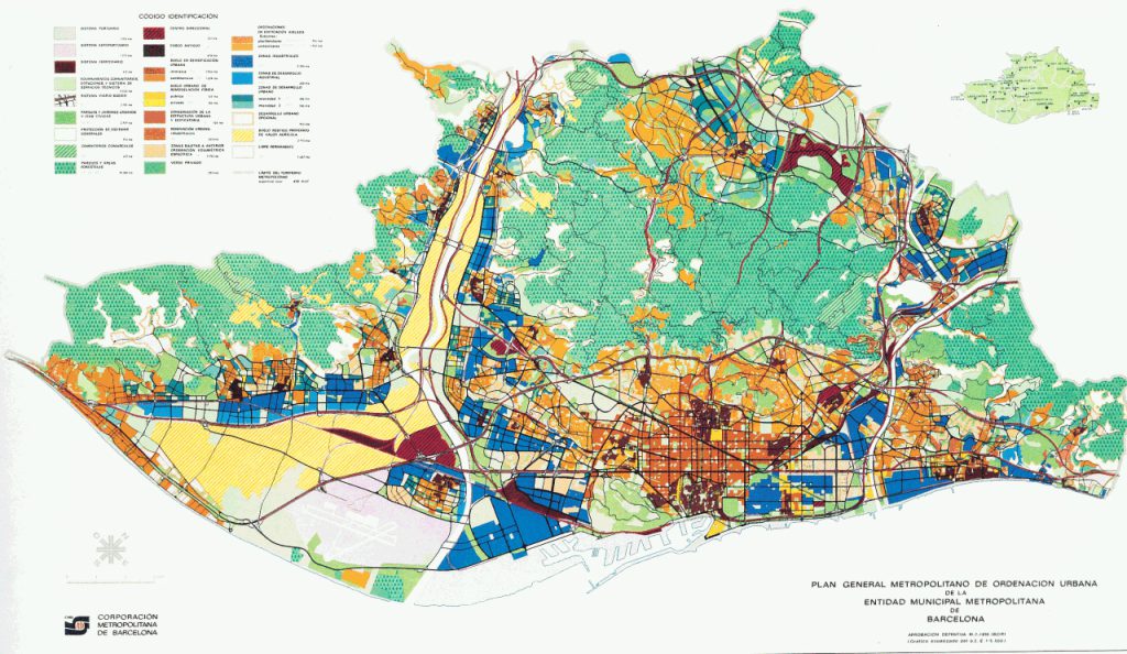
Bilbao’s current cartography dates back to 1990 and has been maintained through traditional topographic methods. While useful, this system no longer meets the demands of modern urban management. The new project will generate multi-scale mapping designed to integrate with the municipal Geographic Information System (GIS) and support advanced planning tools.
Three Levels of Detail
The project will produce three cartographies:
- 1:500 scale: Detailed mapping of roughly 1,745 hectares across urban, developable, and rural areas, complete with 3D components.
- 1:2,000 scale: Broader coverage of the municipality and bordering planning zones, combining detailed data with topographic restitution.
- 1:10,000 scale: A generalized view derived from the 1:2,000 layer for a citywide overview.
In total, about 4,420 hectares will be covered. Accuracy will be ensured through field support points, aero-triangulation, and targeted topographic surveys in hidden or complex areas.
Laying the Groundwork for a Digital Twin
All documentation is expected to be complete by early 2026. With it, Bilbao will have the foundation to create a digital twin—a virtual replica of the city capable of simulating noise, sunlight, and infrastructure impacts. Beyond supporting municipal planning, this tool will also improve transparency and public access to accurate, real-time data.
For Bilbao, the shift from 2D to 3D is a turning point. Incorporating the altimetric dimension and interlinking data across scales will enable richer analysis and more adaptive planning processes.
Why Photogrammetry Matters
Photogrammetry, the technique of capturing aerial imagery to calculate distances, heights, and volumes, sits at the heart of the project. Blending aerial photos with precise positional data, it creates detailed 3D models. Cities use this approach not only for mapping, but also for infrastructure design, environmental monitoring, and post-disaster assessments.
Connecting Back to vGIS
Bilbao’s investment reflects a global trend: municipalities are embracing advanced geospatial technologies to make data more accurate, accessible, and actionable. At vGIS, we share this vision. While Bilbao builds its digital twin through photogrammetry and GIS, our platform takes the next step by bringing complex spatial data into the real world. Using augmented reality and LiDAR, vGIS helps teams visualize infrastructure, utilities, or accessibility conditions directly in the field.
Like Bilbao, we believe the future of urban management lies in making data not just available but visible, so that decisions are informed, transparent, and easy to act upon.